
Trace a Luzerne Street by Address
A Luzerne street directory works best as a record trail, not as a promise that one search identifies every person at a location. The county assessment data connects a property location to the county owner and tax fields. A parcel map supplies the PIN and physical context. The Recorder then supplies the recorded party history. For a current, defined voter-file product, the Bureau of Elections uses a signed request rather than an open browse list. A dated criss-cross directory can add a historical household lead when the selected volume has a street index.
Keep the property location, mailing line, municipality, PIN, and deed reference together as you work. A name in an owner field answers an ownership question. It does not establish every member of a household. That distinction is especially important when a street has similar address formats or a postal community name that differs from the actual municipality.
- Address: Begin in the assessment display with the bare street name. The county says to leave out the number, street type, and punctuation because its property designations can differ from everyday address writing.
- Owner: Narrow the assessment result with municipality or owner information, then record the property location and PIN. This identifies the county owner-of-record and the parcel bridge.
- Deed: Use the PIN, legal-description clue, or deed book and page to search the Recorder indexes. Log both the grantee and grantor, document type, and date instead of treating a single transfer as a full history.
- Voter: When a legally permitted address-based voter product is needed, request the county Street List or Walking List with the required identity and affirmation. Those products have defined use conditions.
- Criss-cross: For a past household lead, check a Luzerne historical directory volume by street only when that volume includes a street index. Read the dated entry as historical evidence, not a current roster.
Note: The strongest result is a documented chain from address to parcel, party, date, and source rather than a conclusion drawn from one field.
Luzerne Street Directory Search Fields
The county-supplied assessment display is hosted by the Times Leader assessment database, so it is an externally hosted view of county data. It is useful for a street-by-street starting point, but an official property card or Assessment Office confirmation is the better route when a county copy is needed. The display gives a street search an unusually broad set of local fields, including ownership, property location, mailing components, values, PIN, plate number, and grantee.
| Assessment field | How it helps a street search | Local caution |
|---|---|---|
| OWNER | Names the owner in the assessment data. | Owner-of-record is not a complete household list. |
| PROP_LOC | Shows the property location or situs field. | Search it with the bare street name. |
| MAIL_ADD1, CITY, STATE, ZIP | Shows tax-mail correspondence components. | These can differ from the property location. |
| PIN and PLATE_NUM | Bridge assessment, GIS, and deed research. | Preserve them exactly for later requests. |
| AV_LAND, AV_TOTAL, GRANTEE | Shows assessment values and a conveyance clue. | Neither replaces a full title search. |
The county’s assessment instructions favor less input. Owner-only searching can be effective, and a repeated road can then be narrowed by municipality. Do not add a house number, suffix such as road or avenue, or periods to the initial street term.
The county-supplied assessment display shows the property-search fields used for this Luzerne street directory approach.
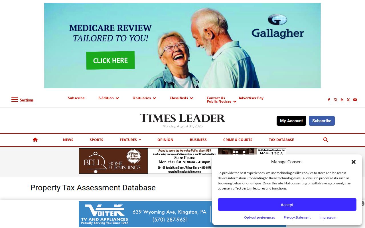
Those fields make a useful first record inventory, while the official property-card procedure supplies the county confirmation route.
Map a Luzerne Street Through PINs
The free Luzerne County GIS/Mapping portal accepts a road, municipality, parcel, or address search. It shows public parcel PIN, owner name, assessed value, structure address, streets, school districts, and aerial context. Use the result to compare the map location to the assessment property location, then retain the PIN. Free tools include Query and Measurement. Measurement is not engineering-grade, so it should not be used to settle a boundary question.
PIN is the county parcel identifier. Luzerne describes its parts as municipality, map, block, lot, and improvement. In the free portal, Query PIN can highlight more than one polygon assigned to the same PIN. Select the Tax Parcels PIN search and enter the exact identifier without dashes when a PIN, rather than a street label, is the reliable common key.
The county GIS portal comparison distinguishes the free map from the subscription service.
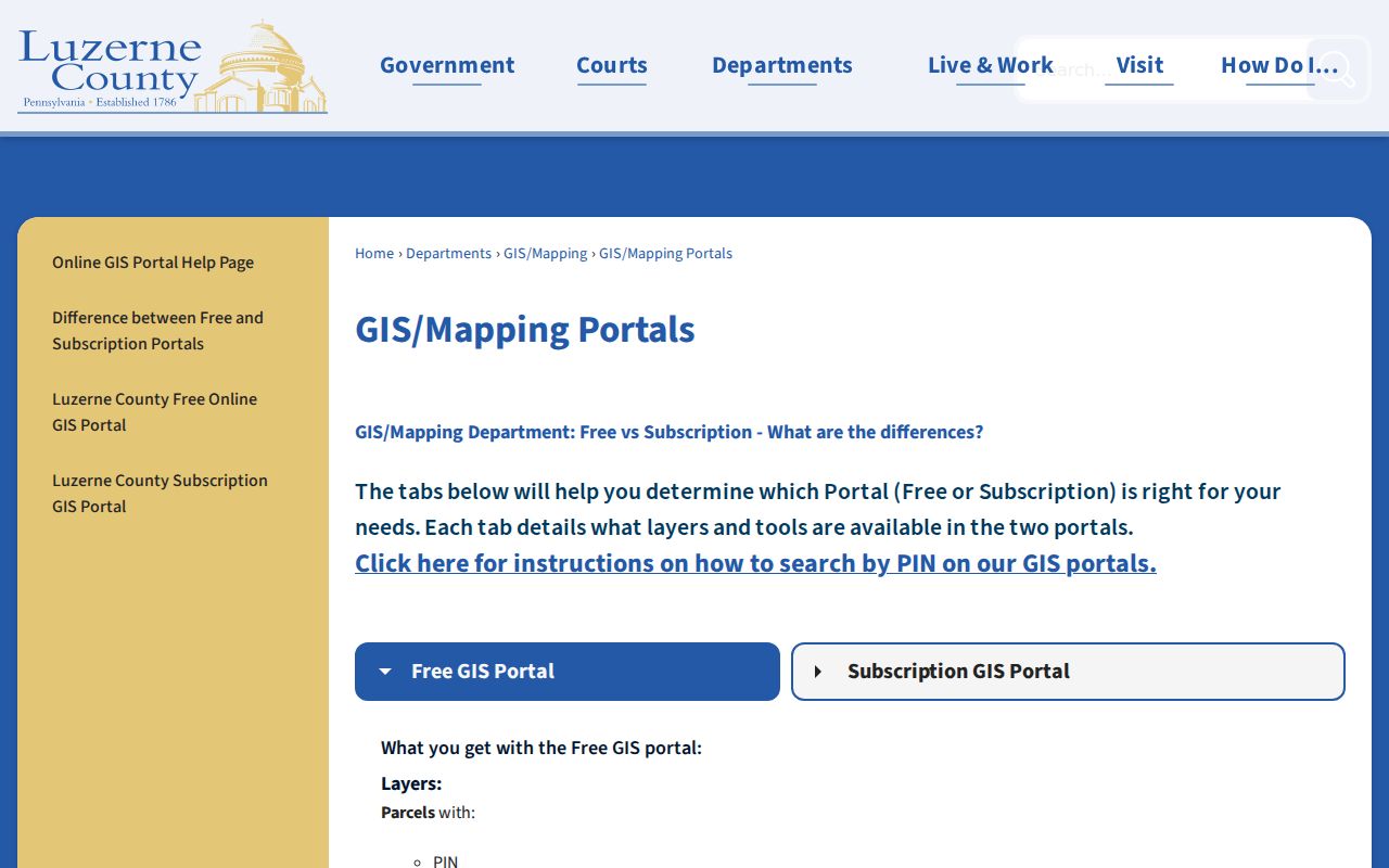
The free layer supports parcel context. Mailing address, deed reference, acreage, historic imagery, and radius features belong to the subscription service.
The GIS help page documents the road, municipality, parcel, and address search choices.
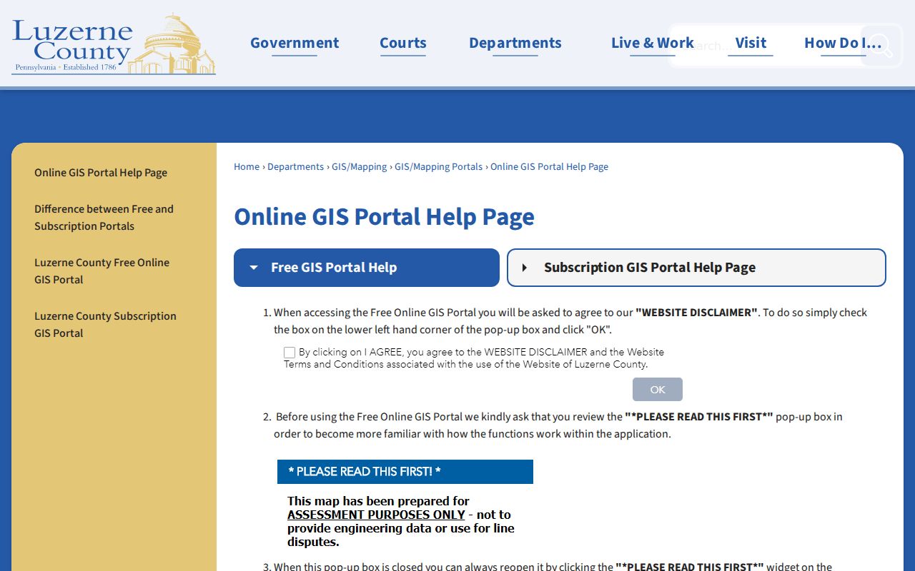
Use the help instructions to resolve the correct parcel before moving a street result into the Recorder indexes.
Address-Keyed Luzerne Street Records
Different records answer different address questions. The assessment record gives owner, property location, mailing, value, PIN, plate, and grantee data. The free GIS layer places the parcel on the street. Recorder documents identify recorded parties and a legal property description. The voter products are controlled lists, and municipal permit files are held by the particular city, borough, or township. A reliable street directory keeps those roles separate.
| Address record | Luzerne keeper | What it can show | Access route |
|---|---|---|---|
| Assessment/property data | Assessment Office | Owner, situs, mailing components, PIN, values, plate, grantee. | Hosted display, office, property-card request. |
| Free GIS parcel map | GIS/Mapping | Parcel, PIN, public owner/value, structure address, street context. | Free portal, help page, public terminals. |
| Recorded deed index | Recorder of Deeds | Grantor/grantee, date, document type, book/page, legal description. | IQS, Landex, Recorder, Records Facility. |
| Street or Walking List | Bureau of Elections | Defined voter information by residential address. | Signed request, identification, affirmation. |
| Permit/code file | Actual municipality | Dated property action where an existing local file is held. | Municipal counter or RTKL request. |
The PIN joins GIS and assessment work. A deed book/page, document number, plate, or legal description can connect the parcel to Recorder material even if the recorded document does not use the current street form. A street label alone is a weaker bridge because address formats and municipal naming can change.
Note: A property record can establish a public property interest, but it is not evidence that every person connected with an address currently lives there.
Luzerne Street Directory Owner Myth
A common mistake is reading a parcel owner or tax-mailing field as a resident roll. `PROP_LOC` is the property location. `MAIL_ADD1`, `CITY`, `STATE`, and `ZIP` are tax-mail fields. A different mailing address may be an alternate correspondence address, a post-office address, or a representative’s address. It does not prove that the named party lives at either address.
Likewise, a deed documents a recorded transaction and party roles, not a census of occupants. Use the county property record for property facts, the Recorder for title history, and a properly obtained voter product or dated directory only for the limited residency question that source can support.
Insider tip. In Luzerne assessment searches, entering less often returns more: start with the bare street name, then use municipality, PIN, or owner fields to narrow the result.
Three Luzerne Recorder Search Eras
The Recorder of Deeds has a split-era system that matters when a street trail reaches past a recent transaction. IQS EFilm/Infodex is the free route for deeds from 1786 through 1967 and for historic grantor/grantee indexes through August 1, 1993. Landex is the later document environment: the county describes it as covering 1968 to the present, with images indexed from December 1980 forward. The office and Records Facility remain the route for archival research and certified copies.
Record the grantee on the acquisition deed, then search that prior owner as the next grantee when walking the chain backward. This creates a dated sequence of recorded transfers. A grantor is the party transferring an interest; a grantee is the receiving party. Neither label alone proves current occupancy.
The IQS gateway is the county’s historic deed and index route.
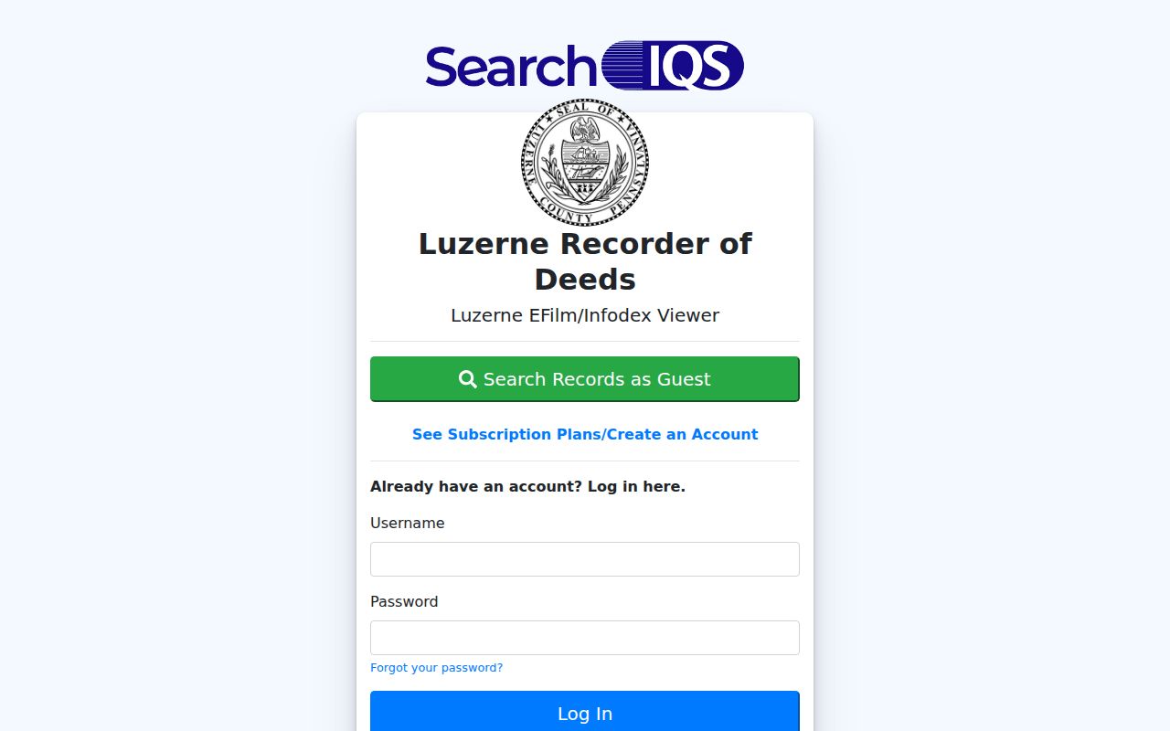
Its guest-search access is useful for the early era before the Landex handoff.
The Landex document search offers General, Instrument Number, and Book and Page modes.
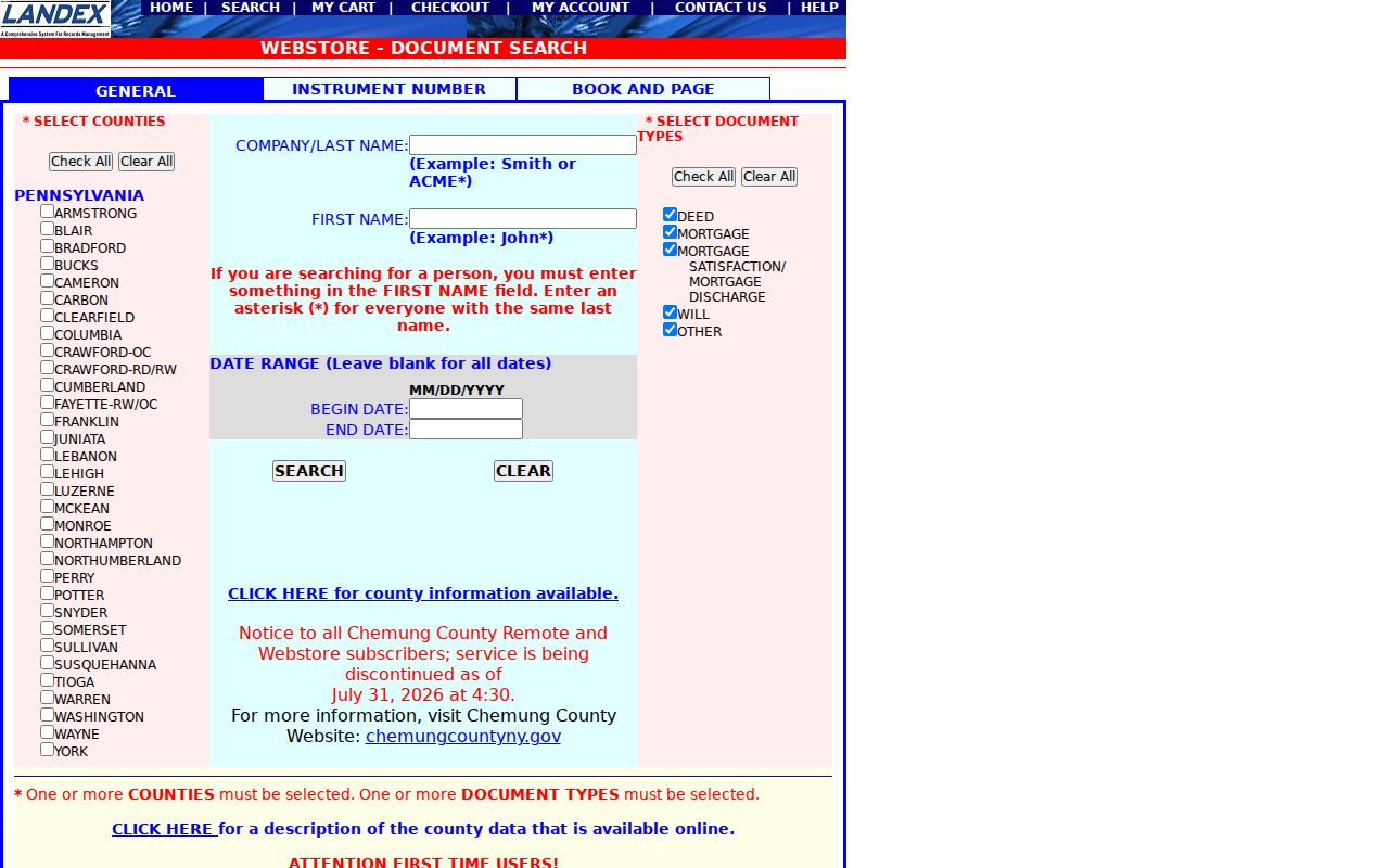
Index searching is free, while selected documents are purchased through the Webstore and certified copies are available only through the office.
Luzerne Street Voter List Rules
Pennsylvania’s personal registration-status tool is for an individual, not for browsing a street. Luzerne County separately offers Street Lists, Walking Lists, Public Information Voter Listings, and Voter Exports through a voter-file request form. The request can select street, walking, public-information, and export products. It also requires the requester’s identity, contact information, signature, and statutory affirmation under 25 Pa.C.S. § 1404.
The Street List identifies name, residential address, mailing address, party, and active or inactive status. The Walking List is derived from it without the mailing address. The county requires identification for an emailed request or in-person presentation, and it accepts the form by email or at the Bureau of Elections. The defined file is not an unrestricted web directory, and the form prohibits unrelated use and internet publication.
Where the requested item is neither an online record nor a listed voter product, the county identifies RTKL as a route for an existing public record. RTKL does not remove special election-code limits or protected-address controls.
Luzerne Postal and Situs Keys
Street research can fail when a postal line is treated as the county address key. The county separates property location, tax mailing address, legal description, and postal address. The situs address is the property location. A legal description identifies the land through lot, block, plate, or another recorded form. USPS validates postal delivery information, while county GIS identifies the municipality and parcel.
Luzerne’s 9-1-1 guidance gives a local example: a physical Fairview Township address can carry Mountain Top as its postal city. Postal naming therefore does not settle municipality or jurisdiction. If an address seems inconsistent, use the county’s 9-1-1 physical-address correction form, then confirm the PIN and municipality in GIS.
- Parcel
- A mapped unit of land in county assessment and GIS records.
- PIN
- The county parcel identifier that bridges map and assessment records.
- Situs address
- The property-location address, distinct from a tax-mailing line.
- Plat or plate
- A recorded map or local map reference that can help describe land.
- Criss-cross directory
- A dated directory arranged by address or street when that volume includes such an index.
Luzerne Municipal Address Files
Luzerne County contains 76 municipalities, and address assignment is shared between county 9-1-1 and local government. Municipalities retain the final naming and numbering decision. That is why permit and code records must be requested from the city, borough, or township that actually has jurisdiction over the parcel. There is no verified countywide historic permit or code portal, and the research did not document a countywide renumbering program.
Wilkes-Barre’s Building Code Enforcement handles building, electrical, plumbing, HVAC, and related permits; a specific existing file can be requested through its local RTKL process. Hazleton has a separate code and open-records system, likewise without a verified historic public permit index. Start by confirming municipality in GIS, then ask the local custodian for an existing address and time-range record rather than assuming a county record will cover it.
Note: The county map can identify the parcel context, but municipal permit and code custody changes at the actual municipal boundary.
Limits of a Luzerne Street Directory
County property, map, and Recorder records show public parcel and recorded-property information. They do not create a complete list of people at every address. Utility customer information, delivery information, protected-address information, and non-owner household information are not a general street lookup. The Pennsylvania Address Confidentiality Program can protect an eligible participant’s actual address, and electronic voter signatures and SURE registration numbers are not public voter-list fields.
For historical work, directory entries are edition-specific and some volumes lack street indexes. For current work, owner-of-record, mailing address, and voter-file data each have different meanings and limits. Keep the original portal result, query date, PIN, and document citation so a record can be checked with the responsible office.
Lawful use. Use Luzerne street and address records only for lawful personal research, civic transparency, property history, or family-history questions. Never use them to stalk, harass, threaten, or harm anyone.